DEVELOPMENT OF THE
MANZANARES RIVERBANKS
MADRID
SPAIN, 2005
URBANISM
PR–281
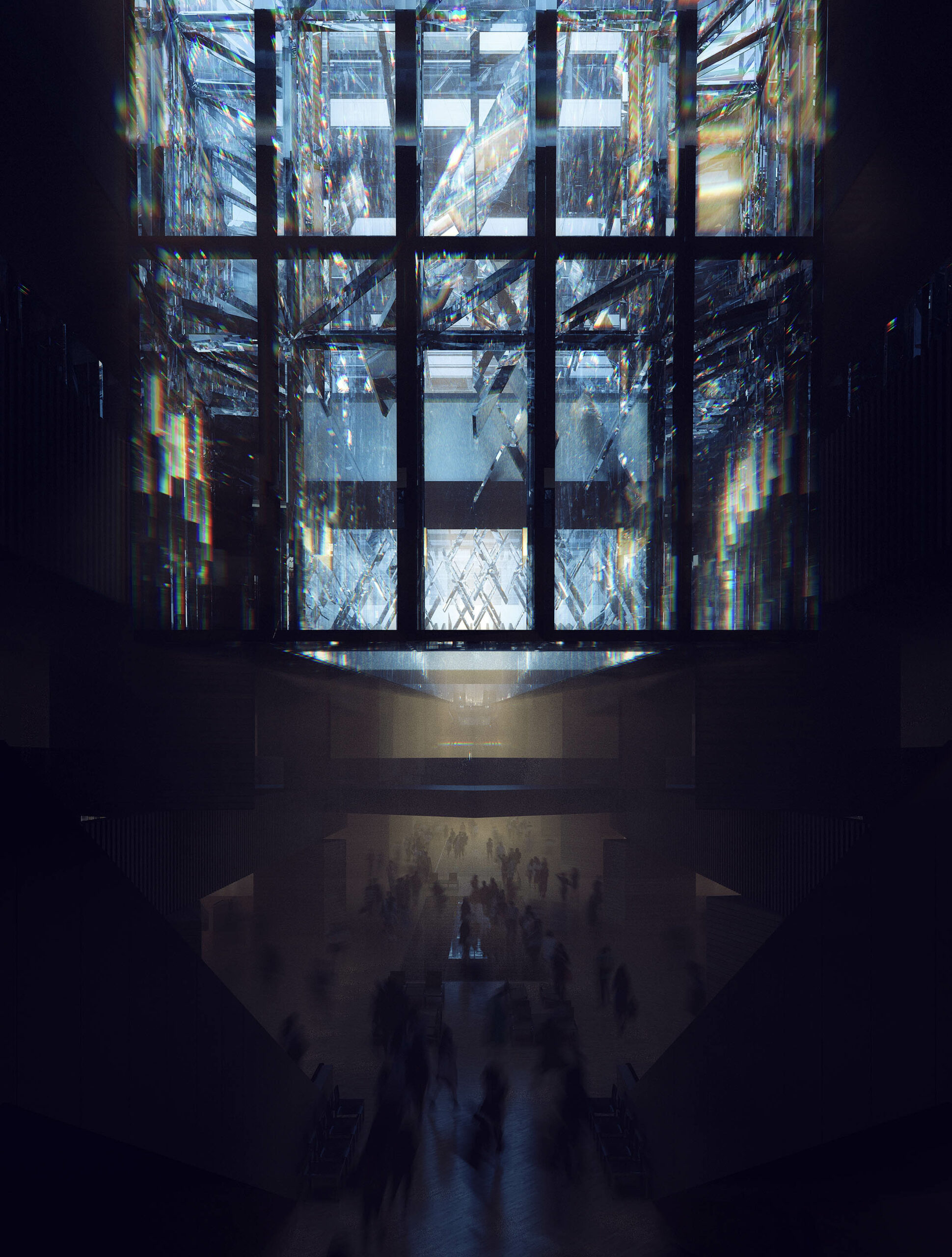
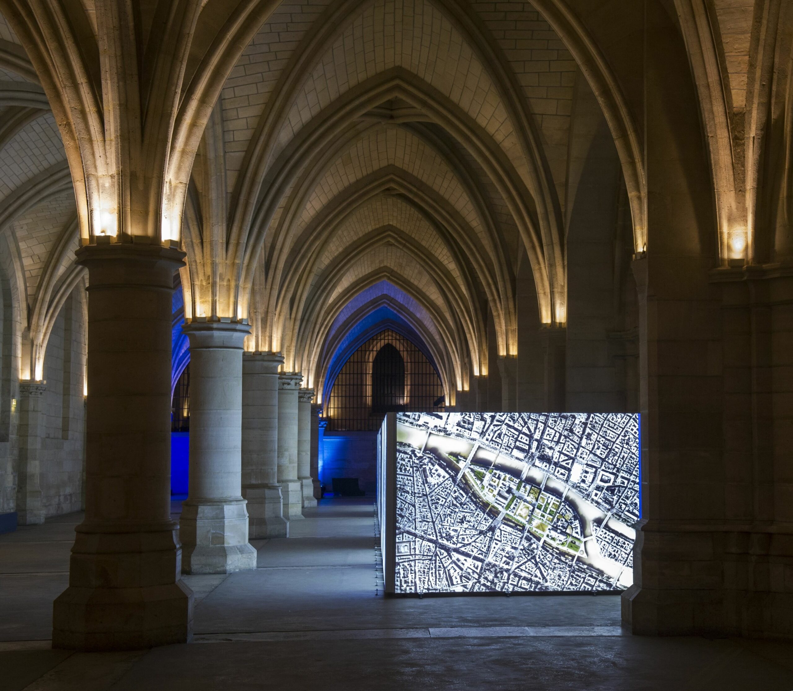
The burying of sections of the M 30 highway along the Manzanares represents a major opportunity to rethink the urban planning of Madrid.
GALLERY
012


VIDEOS
001
001 Presentation video
PROGRAM
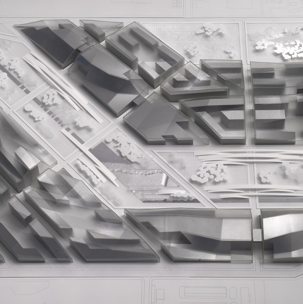
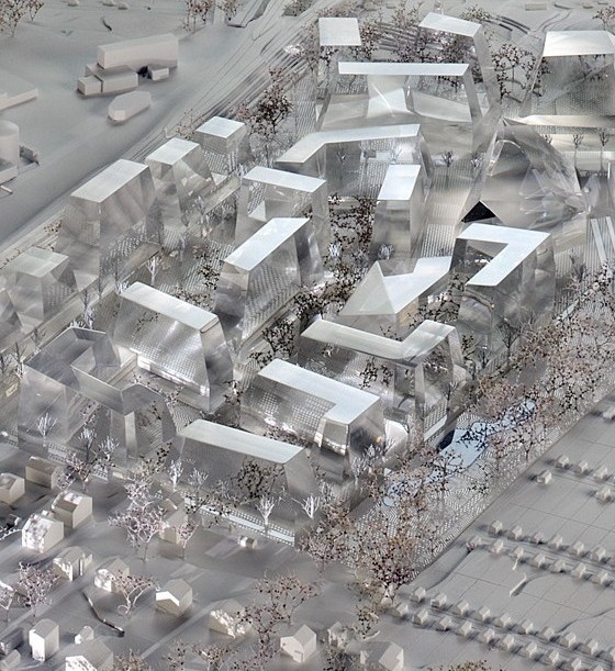
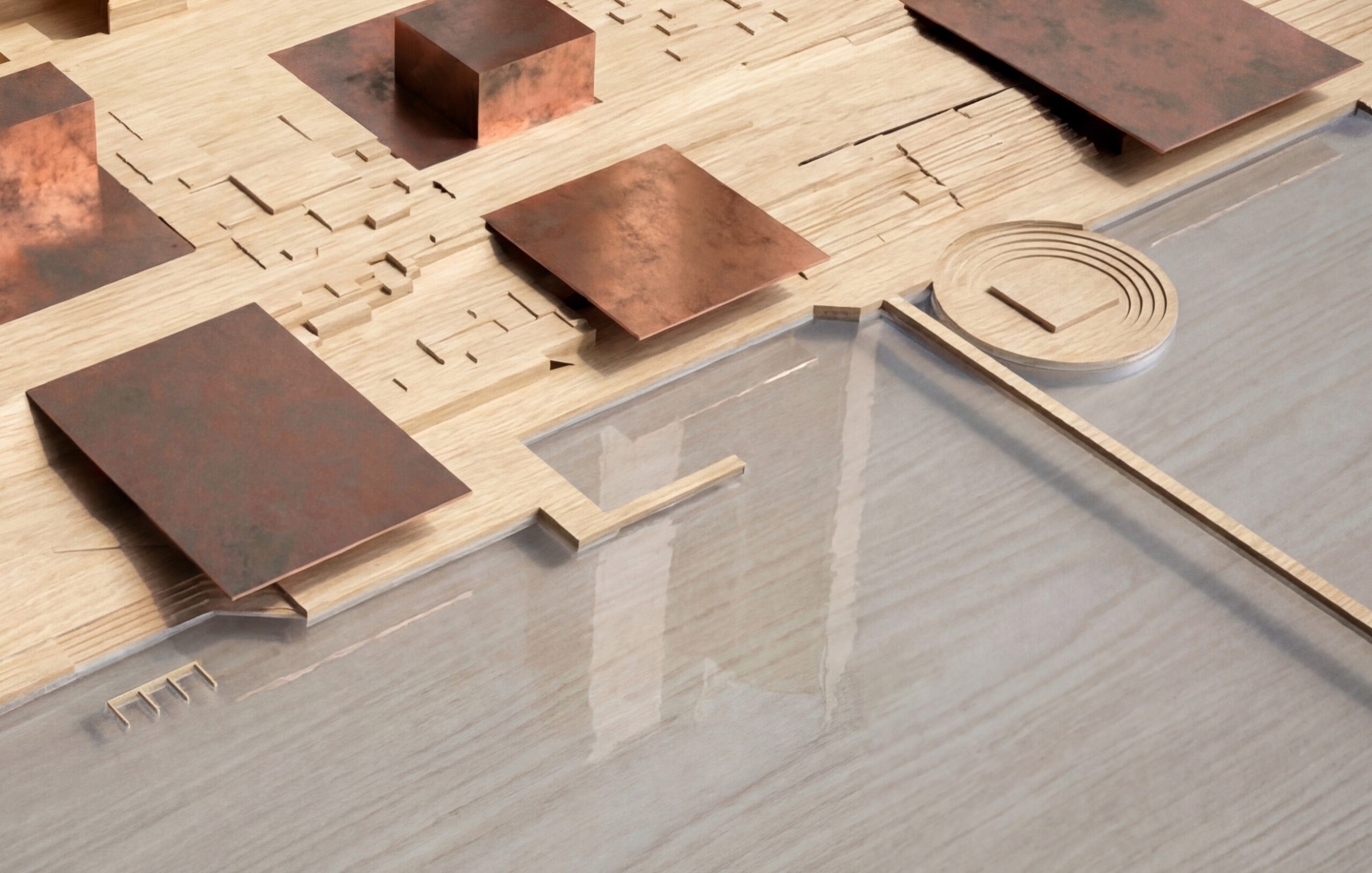
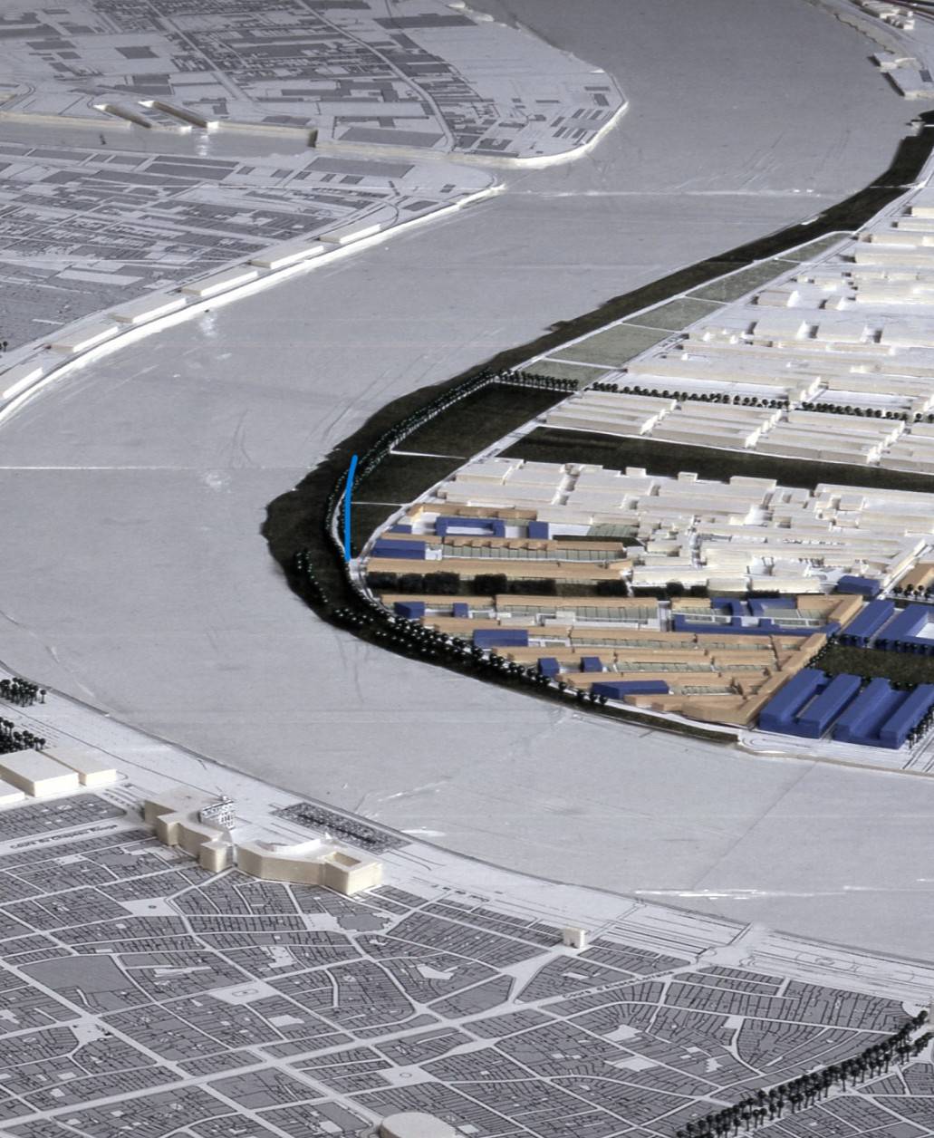
Development of the riverbanks between the southern junction of the M-30 and the French Bridge
DETAIL
Situation
Madrid, Spain
Year
2005
Status
International competition, winning project, not realized
Area of intervention
48 ha (spread along the 7 km of the river)
Client
City of Madrid, Madrid
Architect
Dominique Perrault Architecte
DESCRIPTION
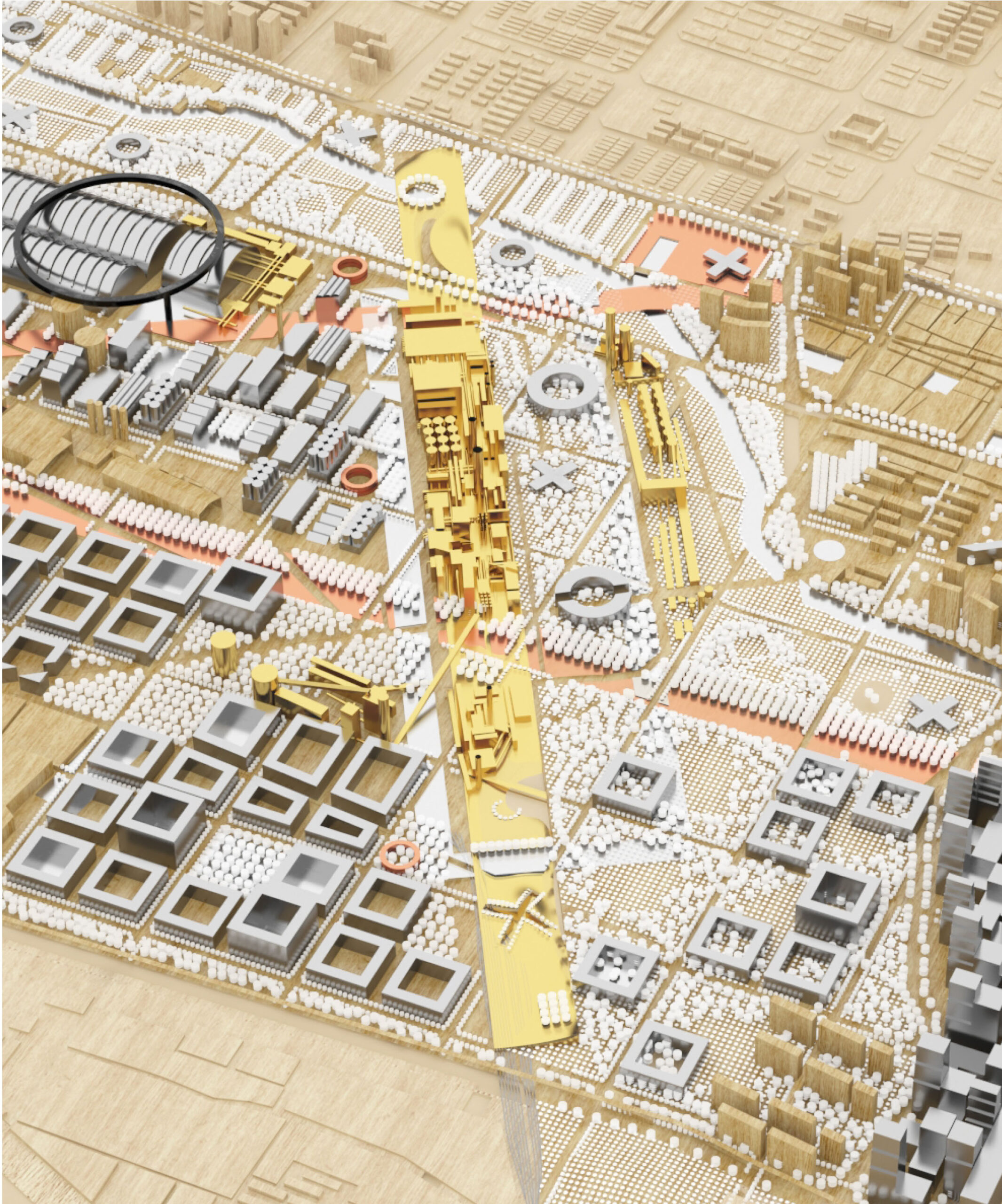
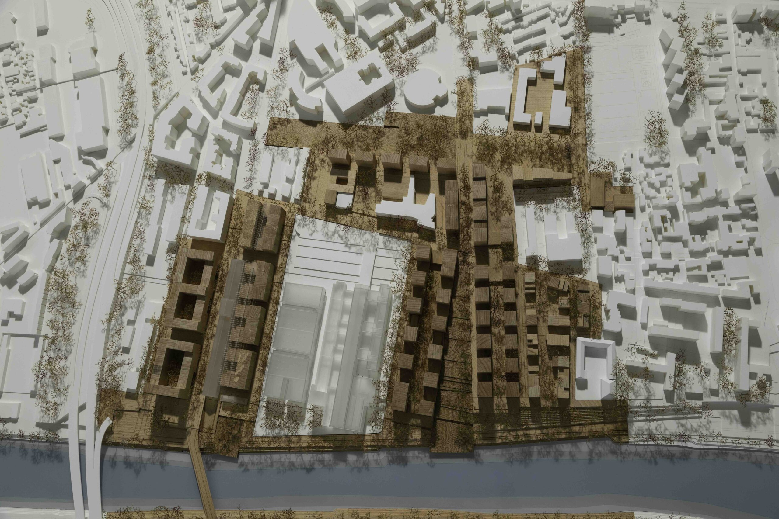
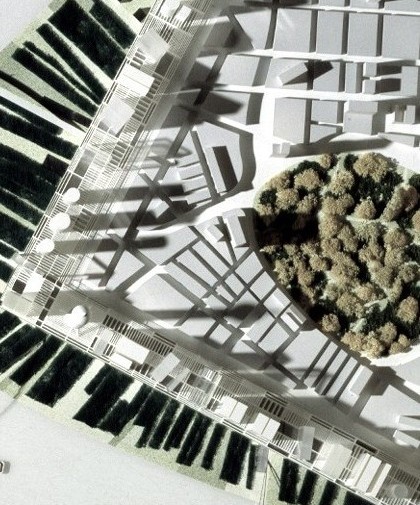
Although the winning team for the riverbank development competition was that of Ginés Garrido Colmenero, the agency’s proposal, which articulates two large zones on this vast territory according to a longitudinal and transversal strategy, was nevertheless integrated into the project.
READ MORE
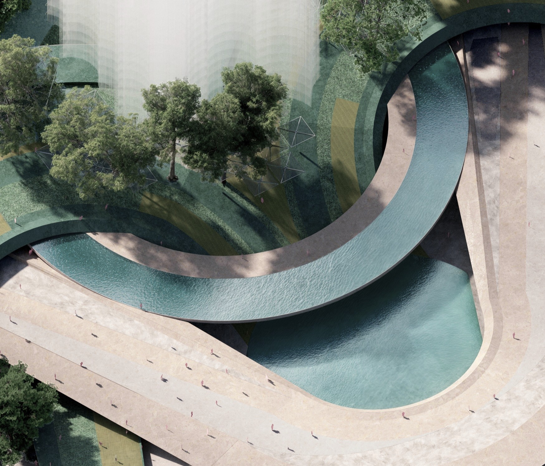
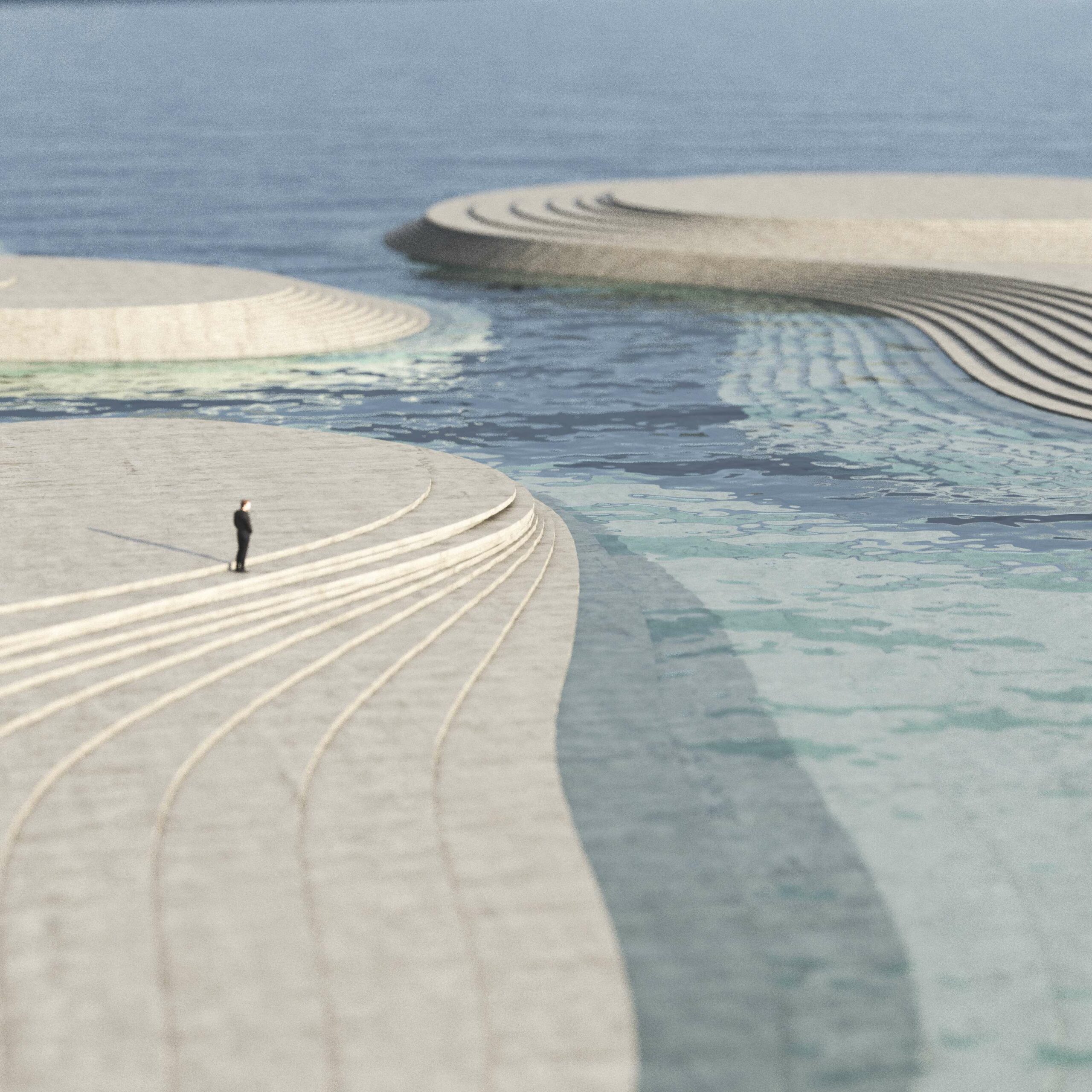
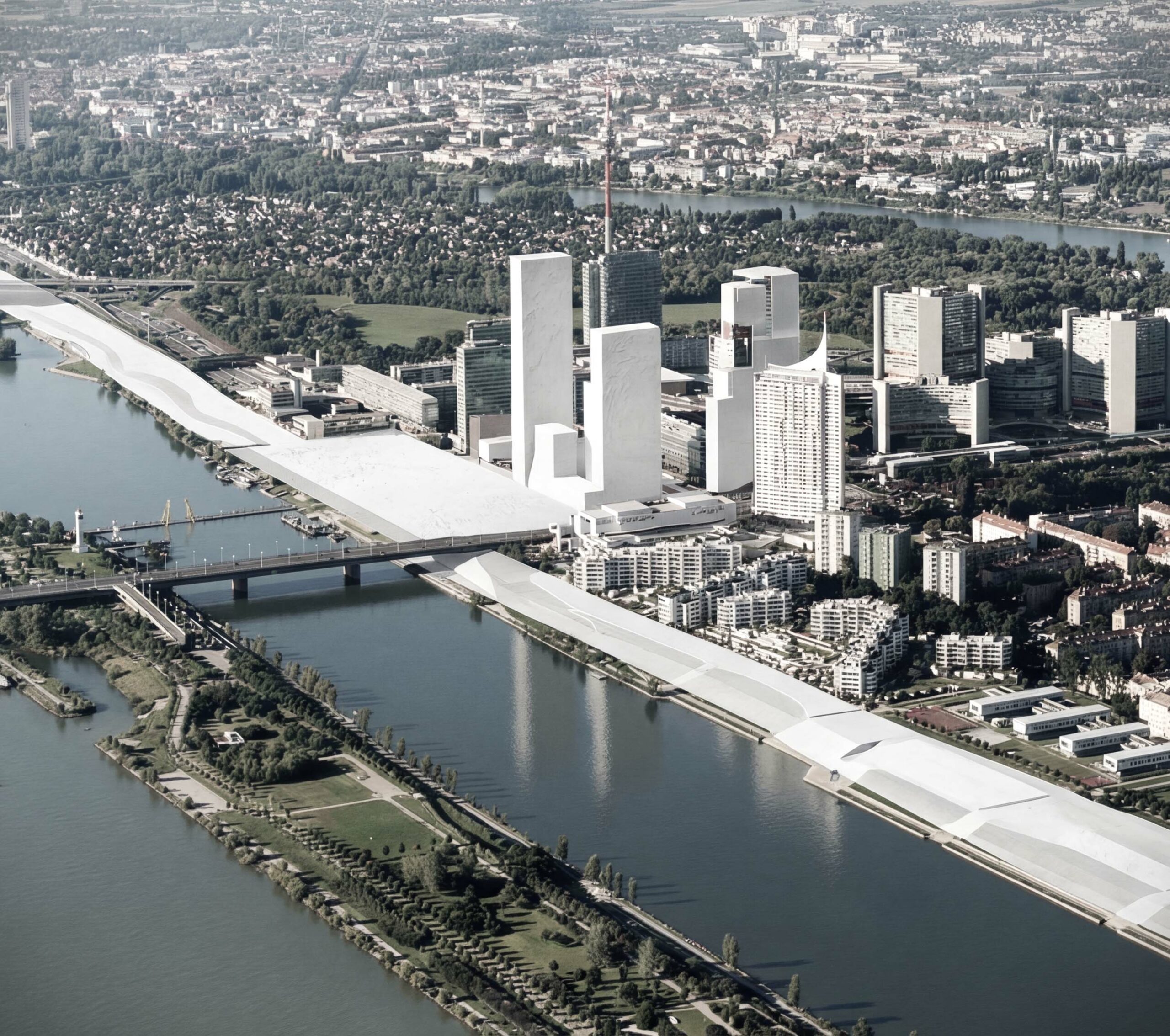
The first zone, named “The Great River,” aims to restore the Manzanares River to its rightful place in the urban landscape, which is too often undervalued in relation to the city. The project proposes increasing access to the river, connecting its two banks, and creating pavilions on the water to reaffirm its presence and public role.
The second zone, the “Great Park,” re-establishes the continuity interrupted by the highway between the Casa de Campo and the Campo del Moro. It comprises a “green lung” integrating historical gardens, scientific spaces, recreational areas, and natural environments, all entirely pedestrianized. With the river magnified and the park amplified, these reconfigured areas embody the ecological and urban ambitions of a forward-looking metropolis.
The Arganzuela footbridge project, a pedestrian bridge spanning the Manzanares, was completed in 2010 following this design competition.
RELATED PROJECTS
NAMCHEON DISTRICT
PR–659
Urbanism
Busan
BUSAN EXPO 2030
PR–641
Masterplan
Busan
LEÓN-WEST DISTRICT
PR–278
Urbanism
León
DONAU ZENTRUM
PR–629
Urbanism
Vienna
LIGHTWALK – GANGNAM INTERNATIONAL TRANSIT CENTER
PR–669
Masterplan
Seoul
MULTIFUNCTIONAL DISTRICT
PR–392
Urbanism
Sofia
ÉTANG DISTRICT
PR–588
Urbanism
Vernier-Geneva
COPA CAGRANA
PR–514
Urbanism
Vienna
CARPARK FUTURES, OPPORTUNITIES IN THE UNDERGROUND
RE-008
Recherche
MASTERPLAN HANGANG DISTRICT
PR–594
Masterplan
Handan
DONAU CITY DISTRICT
PR–212
Urbanism
Vienna
APGUJEONG’S DISTRICT II
PR–642
Masterplan
Seoul
DEVELOPMENT OF THE TWO BANKS
PR–141
Urbanism
Bordeaux
GROUNDSCAPES DESIGN LAB – RETHINKING CITIES UNDERGROUND
RE-002
Research
MASTERPLAN OF SAINT-ANNE ISLAND
PR–082
Masterplan
Nantes
HOTEL METROPOLE STRATEGY – LIVING IN THE GRAND PARIS
RE-003
Research
PARIS 2024 OLYMPICS AND PARALYMPICS GAMES – ATHLETES VILLAGE MANUAL OF URBAN DESIGN
RE-006
Research
Saint-Denis
MISSION ÎLE DE LA CITÉ PARIS – ORIENTATION TOWARDS 2040
RE-004
Research
Paris
LUJIAZUI — PUDONG FINANCIAL DISTRICT
PR–065
Urbanism
Shanghai